Your drone LiDAR crew, ready when you need one.
We fly it, we process it, we deliver it. High-quality drone LiDAR and imagery data for licensed surveying and engineering professionals.
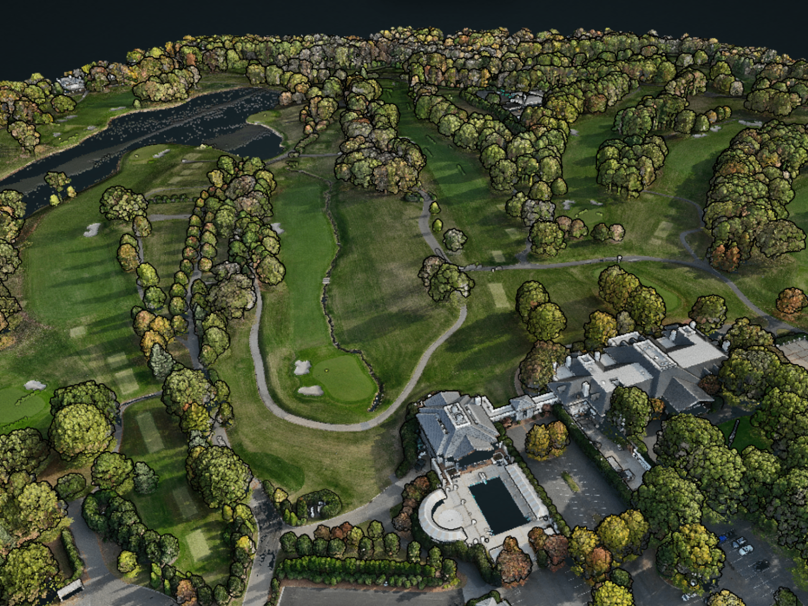
On-site drone LiDAR, SLAM scanning, imagery, and GNSS collection coordinated under your licensed team.
From raw point cloud to finished deliverables, processed under your direction.
Providing the data and support behind successful project delivery.
Drone LiDAR and imagery collection and processing services tailored to the needs of surveying and engineering firms.
Field Data Collection
Drone LiDAR, imagery, and GNSS collection for surveying and engineering projects of all sizes and terrain types. Executed on-site under the direction of the licensed professional of record.
SLAM Scanning
Handheld LiDAR scanning for confined spaces, structures, and environments where aerial collection is not an option. Tunnels, culverts, bridges, and below-grade assessments.
Processing Support
Raw LiDAR and imagery in. Accurate, organized deliverables out. Processing, classification, surface generation, feature extraction, and QA/QC performed under licensed professional direction.
Training & Implementation
For firms adopting drone LiDAR for the first time or refining an existing workflow. We get your team operational and keep them there.
Hardware & Software Guidance
For firms ready to invest in their own drone LiDAR program, we provide honest, consultative guidance on system selection with no incentive to push a particular brand. Training and support continue after purchase.
Focused where it matters.
We work exclusively with land surveying and civil engineering firms, so we understand your project requirements, deliverables, and deadlines.
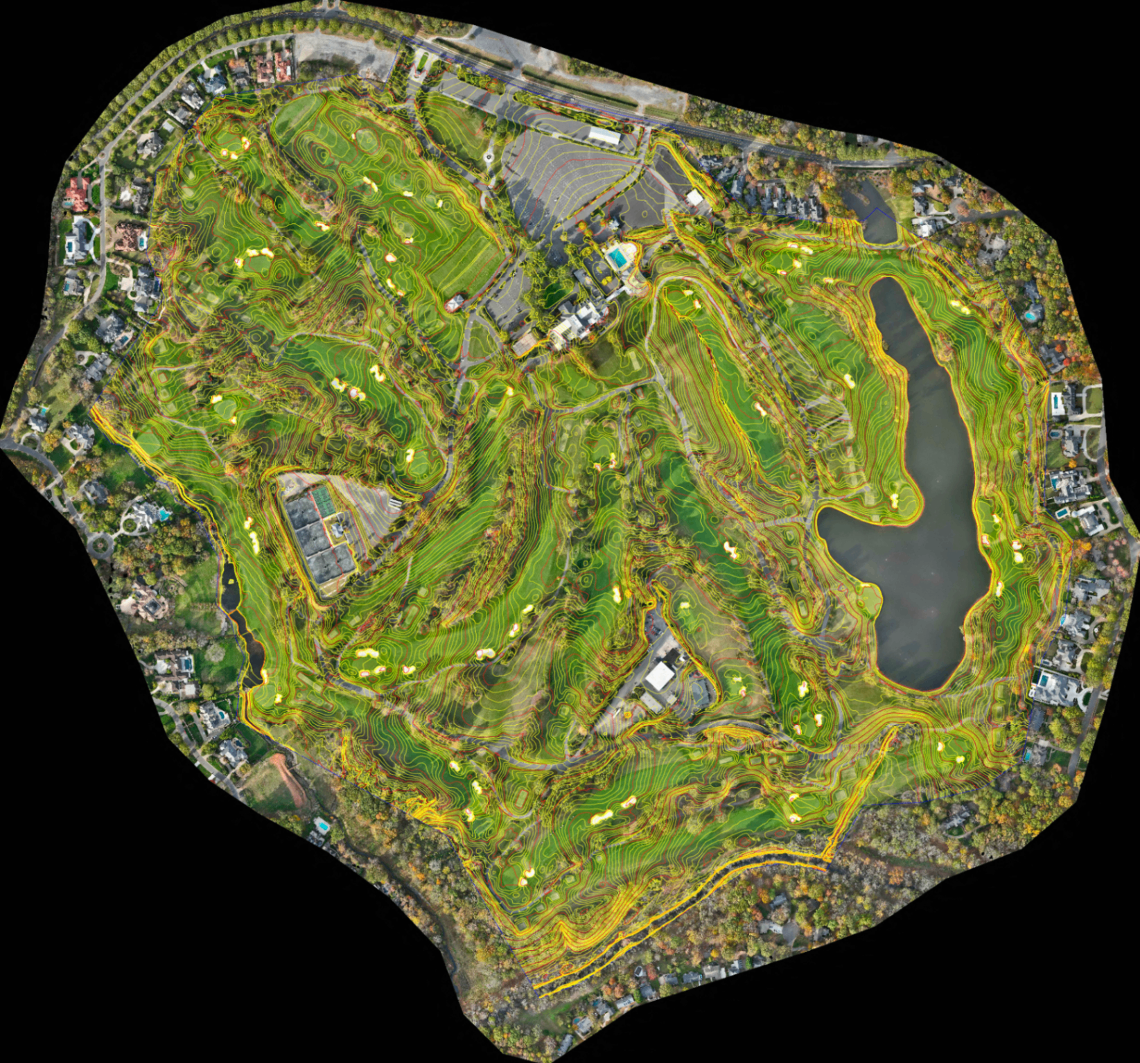
Processing-driven project outcomes
Our work focuses on transforming raw LiDAR and imagery data into organized, usable deliverables that support real-world surveying and engineering workflows under licensed professional oversight.
Brands and platforms we work with
Drone, LiDAR, GNSS, and processing platforms used to support accurate, efficient data collection and processing workflows for surveying and engineering projects.
Need to build in-house capabilities? We can help with that too.
Project-based support is what we do most. But for firms ready to invest in their own drone LiDAR program, we offer hardware selection guidance, hands-on training, and workflow setup to get your team operational.
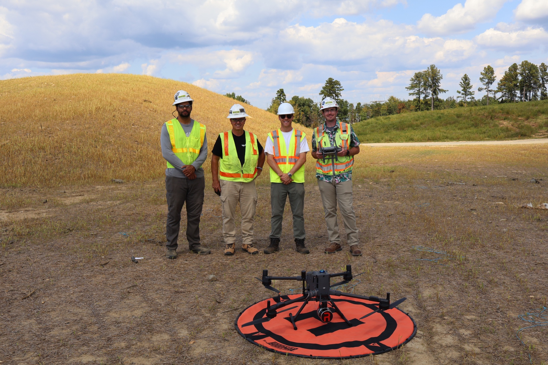
Not sure which direction is right for your firm?
Some firms are better off calling us project by project. Others make sense to own the equipment. We'll give you an honest answer either way.