Built on real survey workflows. Not just drone experience.
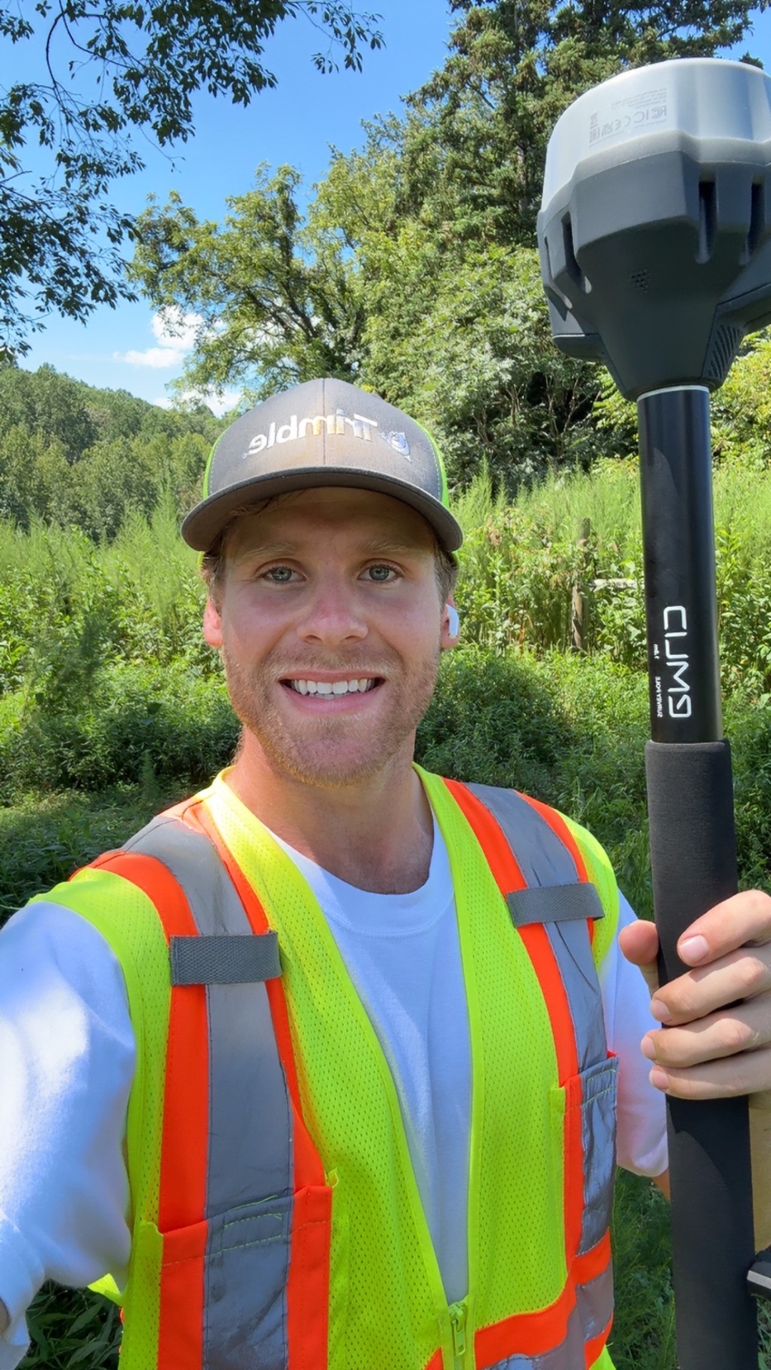
Garrison Wilson has been flying drone-based LiDAR for over 5 years and spent more than 4 of those years working directly under Professional Land Surveyors. That combination is what sets Supreme Drone Services apart from most drone service providers. It is not just about collecting data. It is about understanding how that data gets used, what licensed professionals expect from deliverables, and where drone LiDAR actually fits inside a real survey workflow.
That experience is the foundation of everything we do.
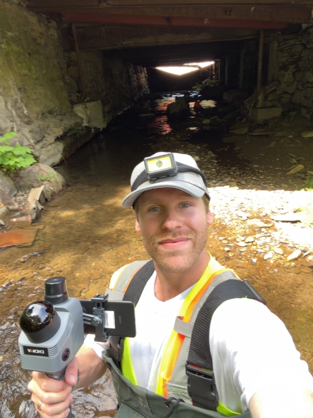
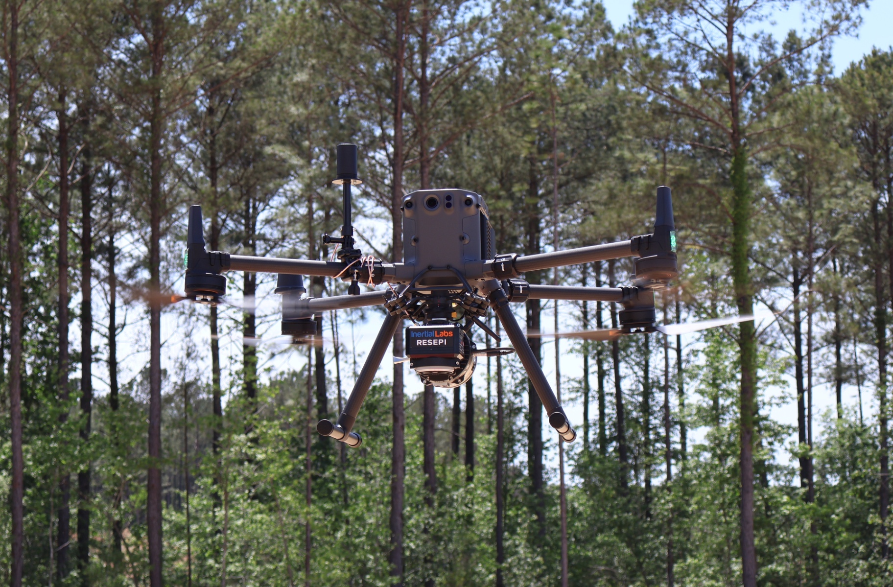
Supreme Drone Services works directly under licensed surveyors and engineers as a specialized field and processing partner. We handle drone LiDAR collection, SLAM scanning, imagery, and processing support so your team can take on more without adding overhead.
We know what good data looks like, we know what your projects require, and we know how to deliver it on a timeline that works.