Real-world examples of drone LiDAR project support.
These projects highlight how drone LiDAR data collection and processing can support surveying and engineering workflows across different site conditions, project types, and deliverable requirements.
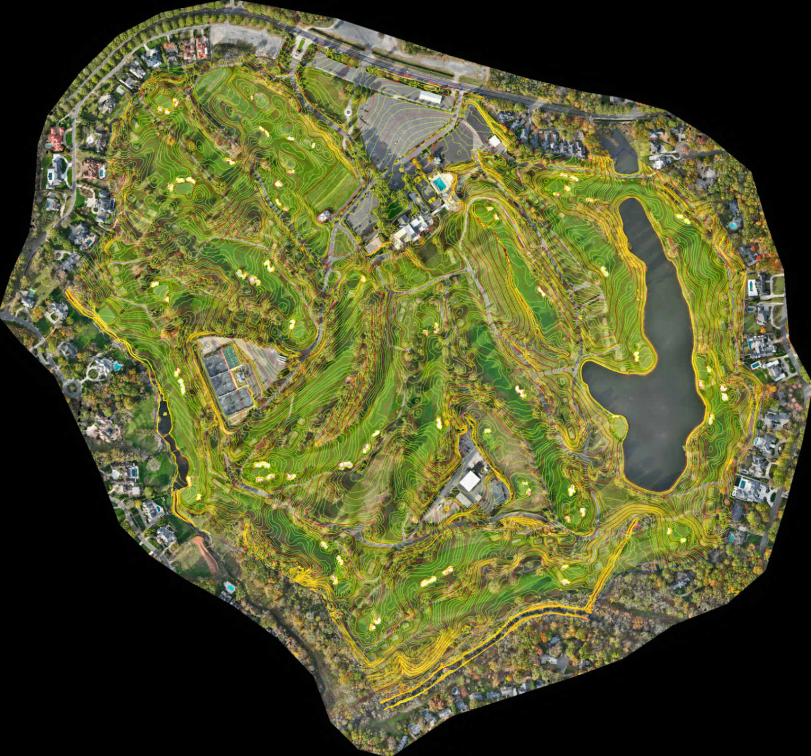
300+ Acre Golf Course
Large-scale mapping across a full golf course property combining drone LiDAR and imagery to support terrain analysis, surface generation, and design workflows. Missions were planned around the unique layout and land cover of the property to ensure clean, consistent data across the full site. Performed directly under a licensed surveying and engineering firm.
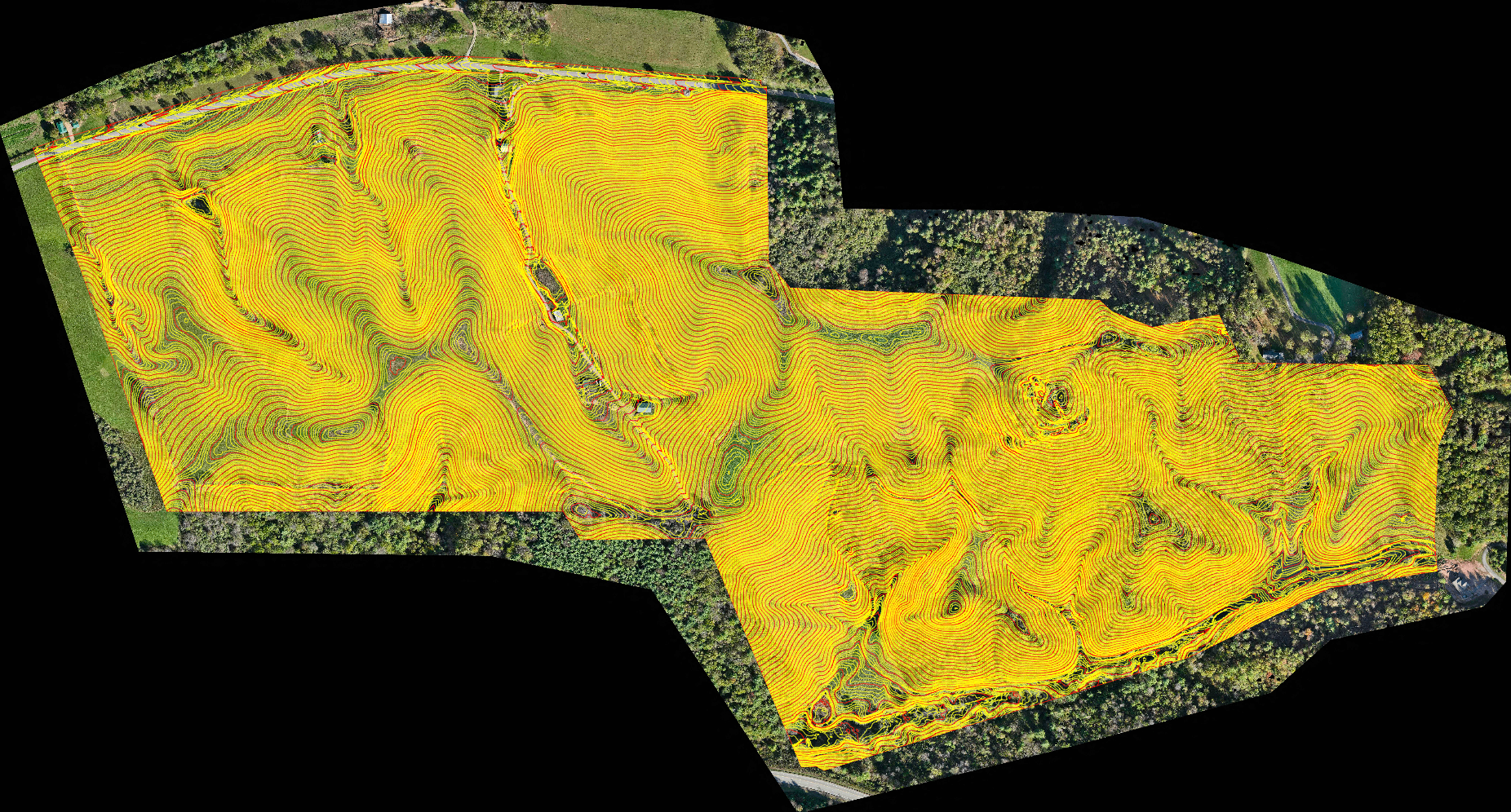
350+ Acres · Heavily Wooded · Mountainous Terrain
One of the more demanding site conditions we work in. Steep grades, dense canopy, and dramatic elevation change across the full project area. Terrain-following flight kept our sensors at the right altitude throughout, and our LiDAR system performed exactly as it should in heavy vegetation, driving strong ground-level returns through the canopy. Missions were planned specifically around the terrain and tree coverage to get the most out of every flight. Performed directly under a licensed surveying firm.
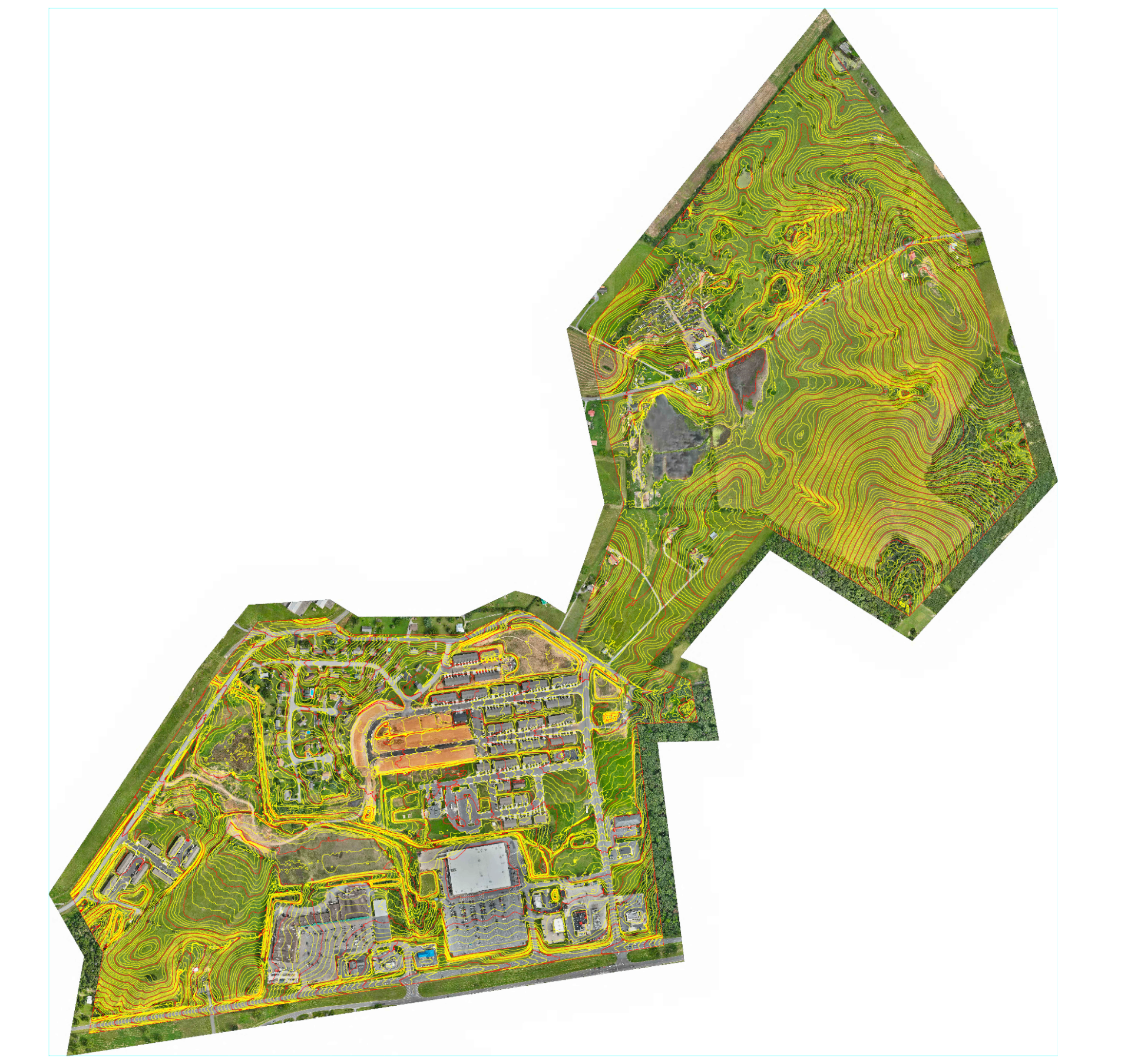
400+ Acres · Mixed-Use Site · Developed + Farmland
A large and varied site covering partially developed commercial areas, residential zones, and open farmland in a single mobilization. Mission planning accounted for the different surface types and land cover conditions across the property to ensure consistent, usable data throughout. Performed directly under a licensed surveying firm.
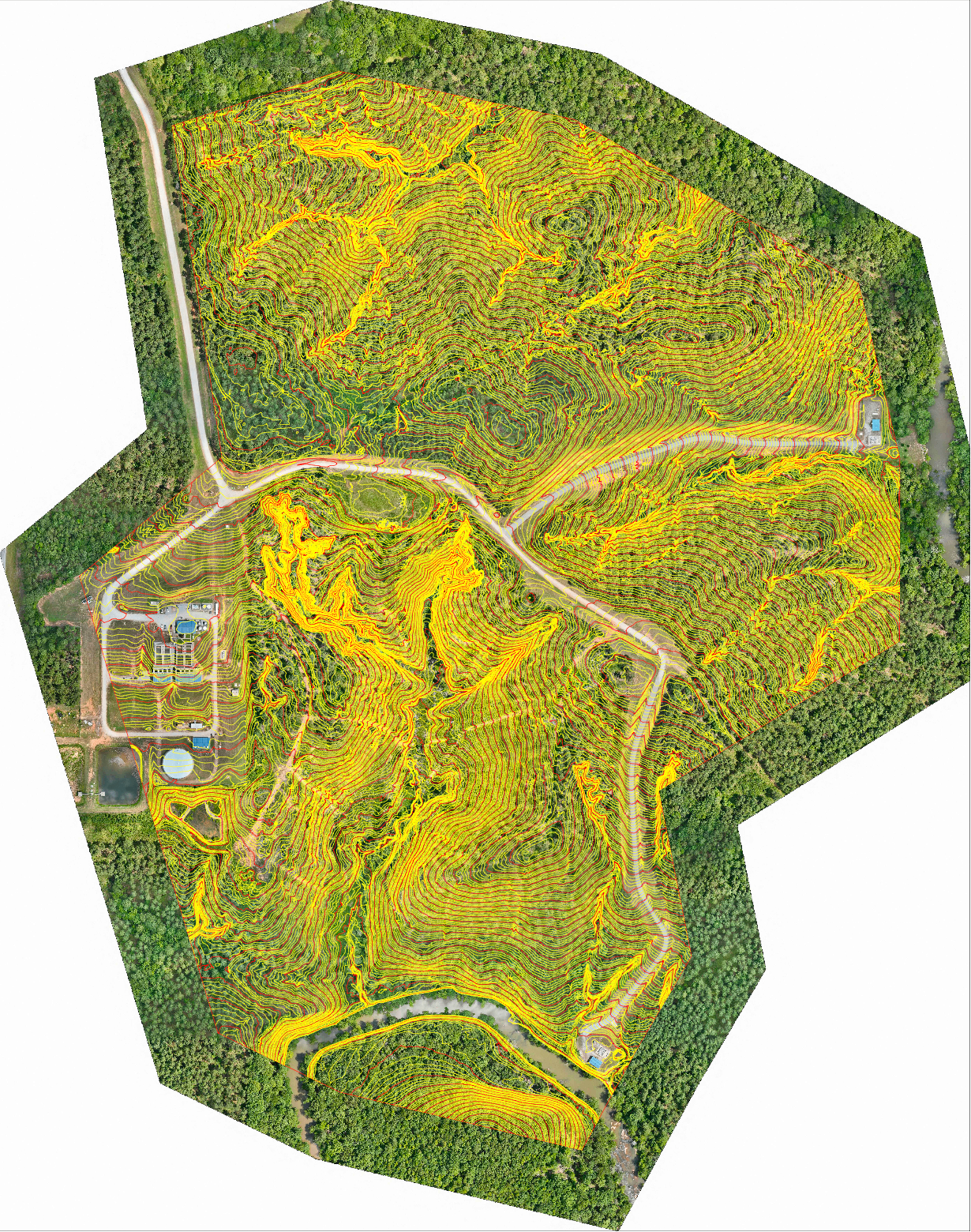
250+ Acres · Heavily Wooded
Dense, mature tree coverage across the full site. Our LiDAR system excels in exactly these conditions, pushing through thick canopy and returning ample ground-level data where other collection methods struggle. Missions were planned to account for vegetation density and maximize the quality of returns at ground level. Performed directly under a licensed surveying firm.